


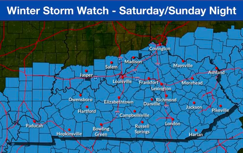
Grayson County is under a Winter Storm Watch as a major storm system is expected to impact the region beginning on Saturday.
The National Weather Service (NWS) in Louisville said much of central Kentucky will receive “heavy mixed precipitation,” with “snow accumulations between nine and 14 inches and ice accumulations around two tenths of an inch possible.”
The NWS said the probability that the area will receive significant snowfall (greater than six inches), stands at between 60 percent and 80 percent.
“Still lots of uncertainty in the storm track, which impacts confidence on where the heaviest band of snowfall will be located,” the NWS says.
Residents should prepare for impassable roadways and loss of power, as the storm is anticipated to arrive Saturday during the late morning and not exit the region until Sunday evening.
The temperature on Saturday and Sunday will range between 12 degrees and 25 degrees, according to the NWS. Temperatures next week are forecast to be between zero degrees and 30 degrees, which likely indicates the snow that falls over the weekend will stick around for several days.
By Ken Howlett, News Director
Contact Ken at ken@k105.com